On the South Cornwall coast to the east of Falmouth lies the Roseland Peninsula, its name deriving from the Cornish word ros meaning promontory. In total it covers about 40 square miles and is bounded on the west by Carrick Roads (Fal Estuary) and on the east by Gerrans Bay and Veryan Bay. The shape of the peninsula and because it is bisected by the Percuil River at its southern end means that it has about 30 miles of waterfront.
There are 5 main villages and over 20 small hamlets scattered throughout the Roseland, with St Mawes at the southern tip, sometimes referred to as the jewel in the crown. Historically, farming and fishing were the economic mainstays. The latter continues in diminished form and gave rise to a number of boatyards to serve the industry. Today these serve the needs of sailors and in the season, there are hundreds of boats moored at St Mawes and St Just.
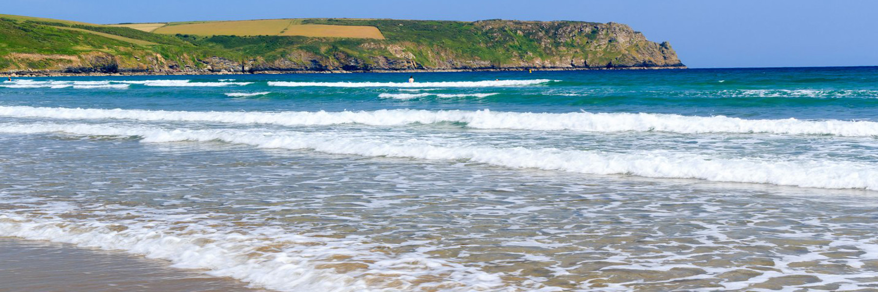
The whole area is one of outstanding natural beauty which makes it a popular recreational location. There are many miles of coastal and country footpaths, but major activities are beach and water related. The largest sailing club in the south-west of England is located at St Mawes and organises regattas and racing throughout the season.
The Southwest Coast Path passes through Portloe and Portscatho on its way to St Mawes, from where it takes the foot ferry from St Mawes to Falmouth. Another foot ferry crosses the Percuil River providing a short cut to St Anthony headland where there is a lighthouse. The King Harry Ferry provides vehicle transport across the Fal to west Cornwall.
Looking to buy a property in Roseland Peninsula?
Browse through our collection of exquisite properties in the area.